- Screen Colours:
- Normal
- Black & Yellow
Mon
19
Jun
2023
14
30
Mon
19
Jun
2023
16
00
Maps for Family Historians by Alan Ruston
On 19th June, Alan Ruston gave a fascinating talk on maps for family historians, to an audience of around 35, including many who also joined us via Zoom. He started with a picture of the "Mappa Mundi", which dates from about 1300 and hangs in Hereford Cathedral. This is a religious map and centres on Jerusalem, with Christ depicted at the top.
| ©“Mappa Mundi, Hereford Cathedral” by In Memoriam: PhillipC, licensed under CC BY 2.0. | ||
 |
 |
|
| John Speed’s British Isles Map (1770): Original public domain image ©The Smithsonian Institution | ||
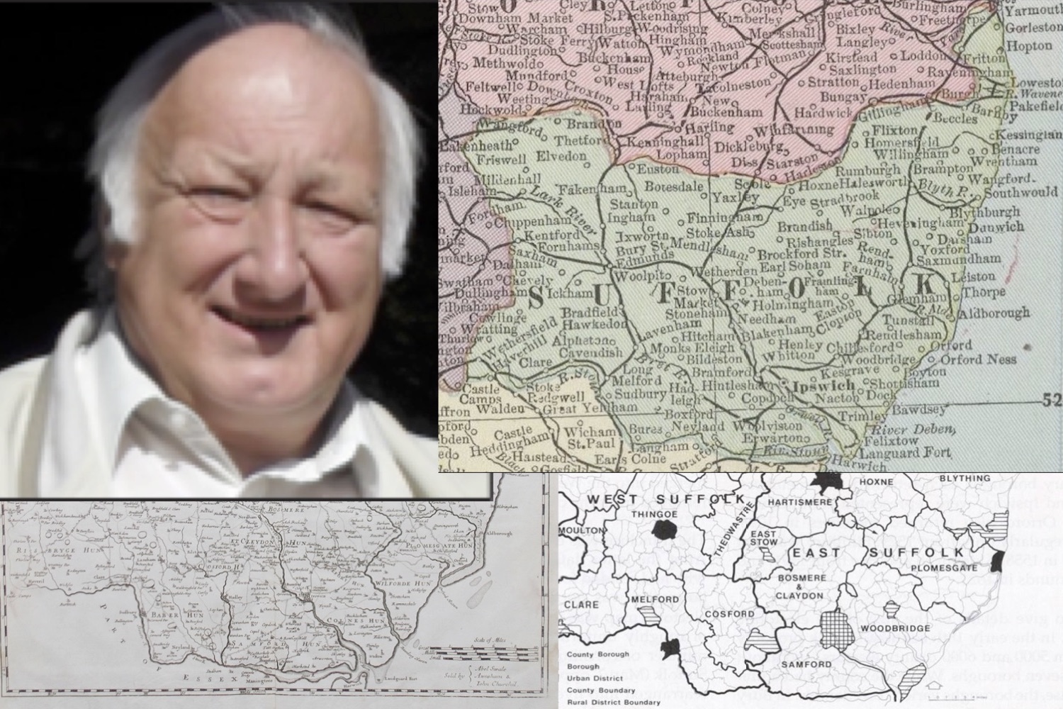
Before maps as we know them, there were no maps of the countryside. To find their way, travellers would hire a local guide or visit a hostelry, which would display a map of the area, showing how to get to the next town. From about 1610, Sir John Speed began to create maps/plans of towns. He was the first person to include the Hundred boundaries. He created maps for about 50 towns.
There were many different maps for London and the few other major cities from 1300.
Maps began to be created for a variety of reasons:
● Estate maps: on behalf of landowners who wanted to know what land they owned;
● Enclosure Maps (eighteenth century):
to show the division of land between the landowner and the villagers;
● Tithe Maps (nineteenth century):
for the clergy to understand which farms etc. were beholden to submit their tithe.
Alan said it was important to consider why a certain map was made — for example, the earliest national maps were surveys of drains and sewers.
Europe was far ahead of us in creating maps, using the triangulation process. We began to produce them in this country in the eighteenth century, which led to the creation of County Maps. We are all familiar with the Ordnance Survey maps. This was a series of maps created for the government from 1801 in preparation for the expected invasion by Napoleon.
Today few people buy maps, as there are so many electronic alternatives available, but they became very popular from the mid nineteenth century, due to the movement of people because of the growth of the railways.
In 1855, an Act of Parliament decreed that all street names and the naming of streets were to be managed by the local councils. This began to regularise the names of streets and eventually created postal areas.
Valuation maps were produced during WWI to levy tax on estates.
Alan produced an excellent handout which is reproduced on page 11 of Newsletter 61, distributed to Members recently.
Janette Robinson & Angela Skelcher
❋⚭+ ❋⚭+ ❋⚭+ ❋⚭+ ❋⚭+ ❋⚭+ ❋⚭+
Alan Ruston's talk will cover the importance of maps for research; a history of their scope and range, and their development since the 18th century; and maps available online will be outlined.
Alan has been involved in lecturing, speaking and writing on family history for over 30 years. He is a regular speaker at the Society of Genealogists and has written two books in their ‘My Ancestor was ...’ series. Vice-President of the Hertfordshire Family History Society, former Editor of their journal as well as office holder in several Societies involved in Hertfordshire history.